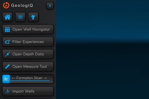
Geologiq is an interactive field atlas for oilfields, reservoir and wells. It combines key information from drilling, geology and geophysics, reservoir and production, and makes it available for everyone in your organization
Value proposition GeologiQ
1.REDUCE OPERATIONAL RISK
The Norwegian Petroleum Safety Authority defines risk as “the consequences of an activity with the associated uncertainty.”
Further: “Uncertainty is somebody’s uncertainty about what the consequences will be.”
GeologiQ will reduce this uncertainty by letting you utilize the potential of your historical data.
In clear words: GeologiQ will make it possible to avoid repetition of downhole mistakes, thereby improve efficiency. This will be valid both in planning and during operations.
One incident avoided will far exceed the cost of the tool.
2.REDUCE ENGINEERING TIME
GeologiQ will make it possible for team members to evaluate challenges with a crossdiscipline view FASTER and with reduced room for misunderstanding:
-engineers will free time to focus on priority tasks
-reports/presentations will be easy/unnecessary to prepare (Design reviews, Management status, DWOP)
-data to support decisions will always be available (in planning and if something happens during operation)
Goal: Engineers best friend. Reduce time spent on unnecessary tasks.
3.INCREASE TEAM KNOWLEDGE
Many are struggling to see things in 3D. Having your field visualized with all relevant data is key to common understanding in both experienced and new team members.
-GeologiQ will speed up the learning process – new team members will be able to understand the field history and challenges much faster than reading through reports and databases.
